GIS Data Capture
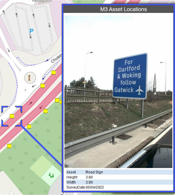
As well as collecting the precise location of assets, Sun Hill can capture information about the asset
Professional Services
Sun Hill uses a variety of equipment to collect GIS data ranging from our mobile mapping system to drones and traditional walked surveys.
Experienced Surveyors
Our surveyors are experienced in collecting GIS data in a variety of environments and tailor their methodology to capture the data in the most efficient way possible. Among many other attributes, an asset’s precise location, dimensions and reference can all be captured by our surveyors.
High Speed Data Collection
Through the use of mobile mapping and drones Sun Hill can increase the speed of GIS data capture and reduce the time required on site. These surveying methods capture huge amounts of point cloud data which can be used to extract measurements for GIS features.
Reduced Risk
Mobile mapping reduces the risk to our surveyors as GIS data can be captured remotely from the safety of our vehicle. Risk is also reduced through the use of drones as data can easily be collected in inaccessible locations.
Multiple Output Options
Our outputs are specifically tailored to your needs and can include shapefiles, spreadsheets and online GIS viewers - Learn more
Case Study
Grounds Maintenance Assets | Berkshire
Sun Hill was tasked to undertake a GIS data capture survey of a number of grounds maintenance sites across West Berkshire. This project used a combined approach of mobile mapping, drone flights and on foot GIS asset collection.
This required extensive planning to determine the correct surveying method for each site. The aim of the surveys was to map the area of grass cutting and the number of features that would require strimming.
This project allowed West Berkshire Council to more efficiently analyse and allocate their ground maintenance budget and to save costs in the process.

Related Services
Go to our Services Pages for the full range
Drone Inspections
State-of-the-art drone technology uses photogrammetry to produce highly accurate 3D models
Read more
Mobile Mapping - Car
A mobile mapping system is a vehicle mounted laser scanner which captures survey grade measurements over large distances while travelling at high speed
Read more
Topographical Surveys
A topographical survey is a highly accurate 3D drawing identifying both natural and artificial features within an area of interest
Read moreFind out more about GIS Data Capture
Accreditation and certification


